

Chapter 14: India's Urban Landscape
Why do cities grow, what breaks when they grow fast, and how can planning keep them liveable?
Original notes — ready CBSE (NCERT, English Medium) • Class 8 • Social Science • Book: Exploring Society: India and Beyond • Part II
Chapter 14: India's Urban Landscape — EG's own notes, in simple words
Book: Exploring Society: India and Beyond (CBSE, Class 8) | Chapter 14 | Part II | Medium: English
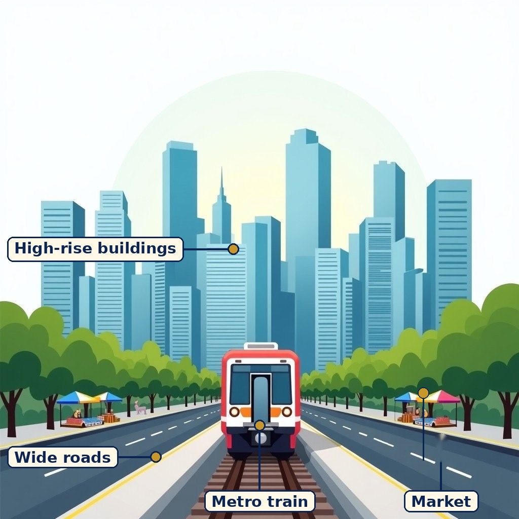
Diagram (labels are printed on the image): A modern Indian city with high-rise buildings, a metro line and busy roads. A general picture of urban life.
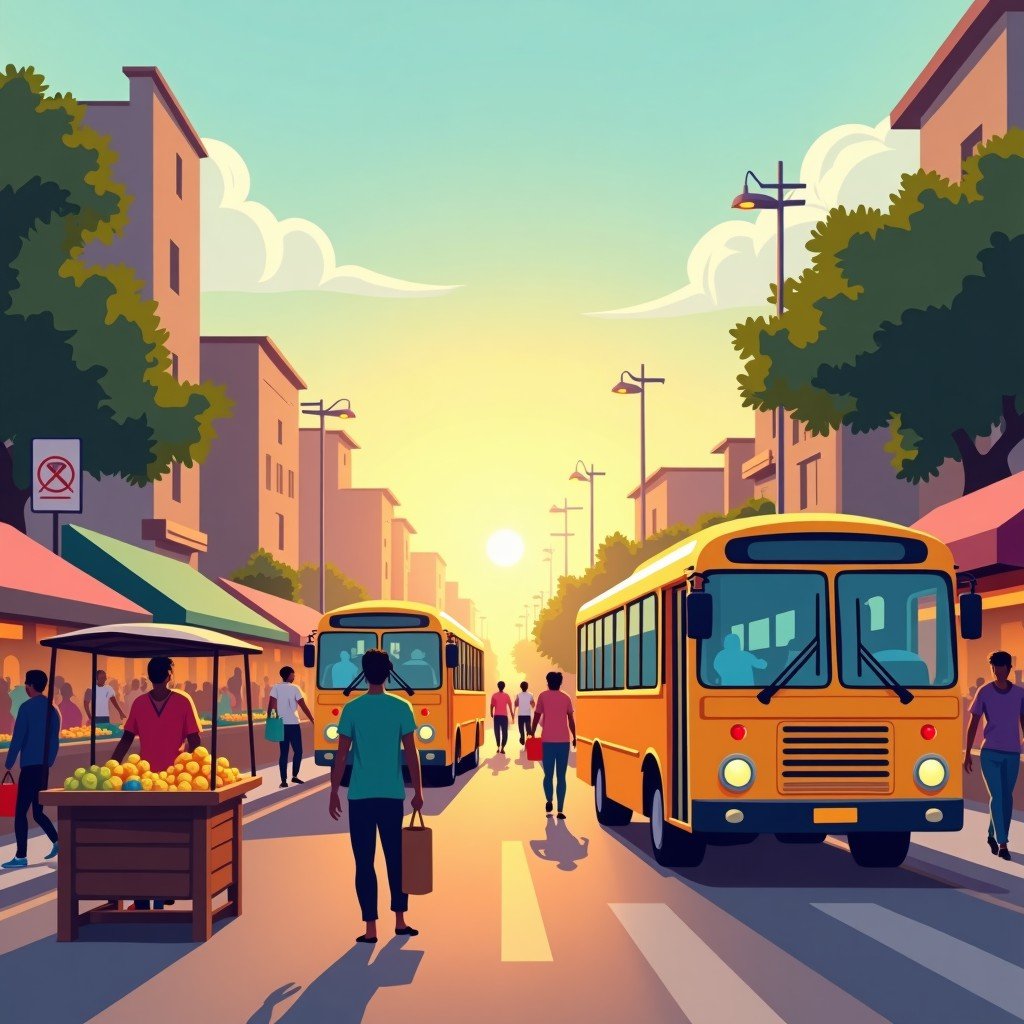
City markets are full of jobs, trade and daily life.
What the chapter is about
What a city is — and India's old urban legacy
Cities are large human settlements that are centres of diverse economic and cultural activities. India has a rich urban legacy: Harappan cities such as Dholavira — spread over 48 hectares with residential areas, fortifications, streets and water systems — and later historical cities show that urban life in India is thousands of years old. The chapter's satellite images of a rural and an urban area in Haryana let you see the difference from above: scattered houses and fields versus dense buildings, roads and networks.
Why cities grow: centres of diverse activities
Cities grow for many reasons: locational advantage (a port, a river crossing, a crossroads), business clusters that attract more businesses, tourism, and efficient infrastructure. As Jane Jacobs' epigraph puts it, cities can provide something for everybody 'only because, and only when, they are created by everybody' — the participants in making a city include workers, traders, builders, officials and residents, and the chapter asks who they are and what each contributes. Population density captures the result: the chapter's figures compare the world's most populous cities in 2025 and population density in cities, and its satellite view of Mumbai and Gangtok asks why their densities differ so much — flat coastal land and commerce versus steep mountain terrain.
How urbanisation affects people and villages
Urbanisation — the growth of the urban share of population — affects both cities and villages. Cities offer jobs, education, healthcare and markets, but they also depend on rural areas for food, labour and resources, and villages are changed by migration, remittances and new ideas. As Delhi's population expanded, the chapter notes, pressure grew on housing, water, transport and services — the classic squeeze of a fast-growing city.
Challenges cities face in the 21st century
As cities grow, they face air and water pollution, expansion of slums, lack of green spaces, traffic jams, waste generation, heat waves in summer, inadequate safety, poor mobility within the city, and pressure on water and land. Slums grow when housing cannot keep pace with migration; traffic grows when public transport cannot keep pace with vehicles; waste grows when consumption outruns collection and segregation. The chapter's exercise asks for action points on each challenge — two are given as examples: 'Segregate at Source' awareness drives with dry/wet waste demos and composting for waste, and carpooling and higher vehicle-purchase taxes for traffic — and asks you to complete the rest.
Planning our cities — dynamically and inclusively
Cities need to be planned dynamically, keeping in mind the constantly changing needs of inhabitants, in a sustainable manner. Good planning asks: do children, the elderly and people with disabilities get easy access to parks, toilets and public transport? The chapter points to Singapore's dynamic urban planning and to Gangtok's Mahatma Gandhi Road as a central pedestrian-friendly street, and to ICT (information and communication technology) — such as real-time transport information — as a planning tool. With better planning, cities can remain centres of innovation, culture and economic prosperity instead of becoming unliveable. The chapter also asks you to study how Beijing tackled air pollution and what India could adapt, and to observe your own neighbourhood for signs of good or poor planning.
What you should learn
Cities are large settlements and centres of economic and cultural activity; they grow through location, clusters, tourism and infrastructure; fast growth brings pollution, slums, traffic, waste and heat; and dynamic, inclusive, sustainable planning is what keeps cities liveable.
Key Terms
- City — A large human settlement that is a centre of diverse economic and cultural activities.
- Urbanisation — The increase in the proportion of a population living in urban areas.
- Population density — The number of people living per unit of area — high in Mumbai, low in a mountain town like Gangtok.
- Urban planning — The design and management of a city's land, housing, transport, services and green spaces.
- Dynamic planning — Planning that keeps adapting to changing needs, rather than fixing a city plan once.
- Slum — An informal settlement, often lacking adequate housing, water and sanitation, that grows when formal housing cannot keep pace with migration.
- ICT in planning — Information and communication technology (e.g. real-time transport data) used to run cities better.
Remember
- Cities = large settlements, diverse economic and cultural centres.
- Dholavira: 48 ha, Harappan planning — residential areas, fortifications, streets.
- Growth drivers: location, business clusters, tourism, infrastructure.
- Challenges: pollution, slums, traffic, waste, heat waves, safety, mobility, green-space loss.
- Planning must be dynamic, sustainable and inclusive (children, elderly, disabled).
- Mumbai vs Gangtok: density differs by terrain and opportunity.
Exam Tip / Common Mistake
Common mistake: listing city problems without linking each to a cause and a planning response. In answers, use the chain: growth driver → pressure → challenge → planning response (e.g. migration → housing shortage → slums → rehabilitation and affordable housing).
Draw your town on graph paper, distribute 100 people across residential, commercial, industrial, park and school squares, and explain which areas are heavily populated and why. The reasoning about your choices is the answer — there is no single correct distribution.
Urbanisation questions often ask only about cities, but the chapter asks both ways: how does urbanisation affect rural areas, and how do cities depend on villages? Food, labour, remittances and markets link them — mention both directions.
Chart / Table: Cities — growth, challenges, planning responses
| Point | Detail |
|---|---|
| Why cities grow | Locational advantage; business clusters; tourism; efficient infrastructure. |
| What cities offer | Jobs, education, healthcare, markets, culture — 'something for everybody' when created by everybody. |
| Challenges | Air/water pollution, slums, traffic jams, waste, heat waves, safety, mobility, green-space loss. |
| Waste (example given) | 'Segregate at Source' drives, dry/wet demos, composting. |
| Traffic (example given) | Carpooling, higher taxes on vehicle purchase, public transport. |
| Planning principles | Dynamic, sustainable, inclusive — access for children, elderly, people with disabilities; ICT tools. |
Practice set — try it yourself
- What are some common features of cities?
Hint: Think about density, diversity of jobs, markets, services and networks. - Think of a town near you that has grown. What drove its growth and migration?
Hint: Think about jobs, education, roads or a new industry. - How can urbanisation affect rural areas, and how do cities depend on villages?
Hint: Think both directions: food and labour one way, remittances and ideas the other. - What is urban planning, and what are the risks of ignoring sustainable planning as cities expand into villages and forests?
Hint: Think about water, land, forests and services lost without planning. - Observe your neighbourhood: what signs of good or poor planning do you see?
Hint: Look at parks, toilets, transport access, waste and safety — and who they serve.
Questions with Answers
- What is a city, and why do cities grow?
A city is a large human settlement and a centre of diverse economic and cultural activities. Cities grow through locational advantage, business clusters, tourism and efficient infrastructure, which together draw people, jobs and investment. - How does urbanisation affect both cities and rural areas?
Cities gain workers, markets and diversity but face pressure on housing, water, transport and services (as Delhi's expansion shows). Rural areas lose some workers but gain remittances, markets and ideas, while cities depend on villages for food and labour — the link runs both ways. - What challenges do 21st-century cities face?
Air and water pollution, expansion of slums, lack of green spaces, traffic jams, waste generation, heat waves, inadequate safety and poor mobility — all worsened when growth outruns housing, transport and services. - What is dynamic urban planning, and why must it be inclusive?
Planning that keeps adapting to inhabitants' changing needs in a sustainable way. It must be inclusive because children, the elderly and people with disabilities need easy access to parks, toilets and public transport — a city that works only for the able-bodied and car-owning does not work for all. - How can cities remain centres of innovation, culture and prosperity?
Through better planning: affordable housing, public transport, waste segregation and composting, green spaces, clean air measures and ICT tools — the chapter's examples include Singapore's dynamic planning, Gangtok's pedestrian-friendly MG Road, and Beijing's air-pollution measures as a case to study.
Extension Questions with Answers
- Map task: draw a 100-person map of your town or village on graph paper and explain your distribution.
Allocate 100 people across residential, commercial, industrial, park, school and other squares, then explain which areas are heavily populated and why (jobs, housing, services). The explanation, not the exact numbers, is assessed. - Satellite task: compare Mumbai and Gangtok — find their population densities and explain the difference.
Method: look up each city's population and area, compute density, and explain it by terrain (flat coastal commercial hub vs steep mountain town), economy and history. Report figures you actually find. - Case-based: Beijing tackled air pollution. What measures could India adapt for its cities?
Research Beijing's measures (as the chapter asks) — for example, emission controls, public transport expansion, green belts — and judge which fit an Indian city you know, with reasons. This is a research task, not a list to memorise. - Action-points task: complete the chapter's table for inadequate safety, poor mobility, slum expansion and heat waves.
Examples to build on: safety — street lighting, safe public transport, community policing; mobility — footpaths, cycle lanes, buses; slums — rehabilitation into proper housing (the chapter's question 14 asks you to study one such programme); heat — trees, cool roofs, water access. - What can a slum rehabilitation programme achieve, and what should you check when studying one?
Benefits may include proper housing, water, sanitation and security for communities. When studying one (as question 14 asks), check what residents themselves say, whether livelihoods survived the move, and whether services actually arrived. - Assertion–Reason: Assertion — Cities grow only because of jobs. Reason — Location, clusters, tourism and infrastructure also drive growth. Judge both and the link.
The assertion is false as a sole explanation, and the reason shows why: jobs matter, but location, business clusters, tourism and infrastructure also attract people and investment. - How do children, the elderly and people with disabilities experience a city differently?
Through access: can a child reach a park safely, can an elderly person board a bus, can a wheelchair user use a toilet or footpath? Inclusive planning measures a city by its most vulnerable users, not its fastest. - Task — urban planner for a day: what would you consider first for a city near you?
List considerations the chapter names — housing, water, transport, green spaces, waste, safety, inclusion — then prioritise three for your city with reasons. This is a judgement task; the prioritisation and reasoning are the answer.
- Cities: large settlements, economic + cultural centres; old legacy (Dholavira, 48 ha).
- Growth: location, clusters, tourism, infrastructure.
- Challenges: pollution, slums, traffic, waste, heat, safety, mobility.
- Planning: dynamic, sustainable, inclusive; ICT helps.
- Mumbai vs Gangtok shows terrain shapes density.
How to use this page: Read the summary, say the Key Terms in your own words, then try the practice set without looking. Use the Questions with Answers to check yourself afterwards. Ask your teacher or parent to check your answers.